
Introduction
The 11,100-ha Eagle Lake property is an early-stage porphyry copper-gold and mesothermal gold prospect located in the Cariboo Mining district, approximately 55 km east of Williams Lake in south-central BC. The property is road accessible by an extensive network of well-maintained forest service roads. The Eagle Lake property is 100%-owned by Trailbreaker, with a portion of it subject to an underlying 1% NSR to Teck Resources.
The newly consolidated Trailbreaker claims are situated within the Quesnel terrane which is host to several of BC’s large tonnage copper-gold porphyry deposits. These include New Gold’s Afton mine, Imperial Metals’ Mount Polley mine, Taseko’s Gibraltor mine, and Centerra Gold’s Mount Milligan and Kemess mines. The Quesnel terrane also hosts numerous advanced-stage gold projects, such as the Spanish Mountain Gold project (measured and indicated resource of >4.5 M oz Au) located 45 km north of Eagle Lake, and Karus Gold’s FG gold project, located 35 km to the east.
The property is underlain by Late Triassic to Early Jurassic intrusive rocks of the Takomkane Batholith, with minor late Triassic volcanic rocks of the Nicola Group. The Eagle Lake property is contiguous to the advanced-stage Woodjam Cu-Au project and shares a similar geological setting. The Woodjam project covers a Cu-Au porphyry deposit with an inferred resource of 1.71 billon lbs copper and 968,100 oz gold.
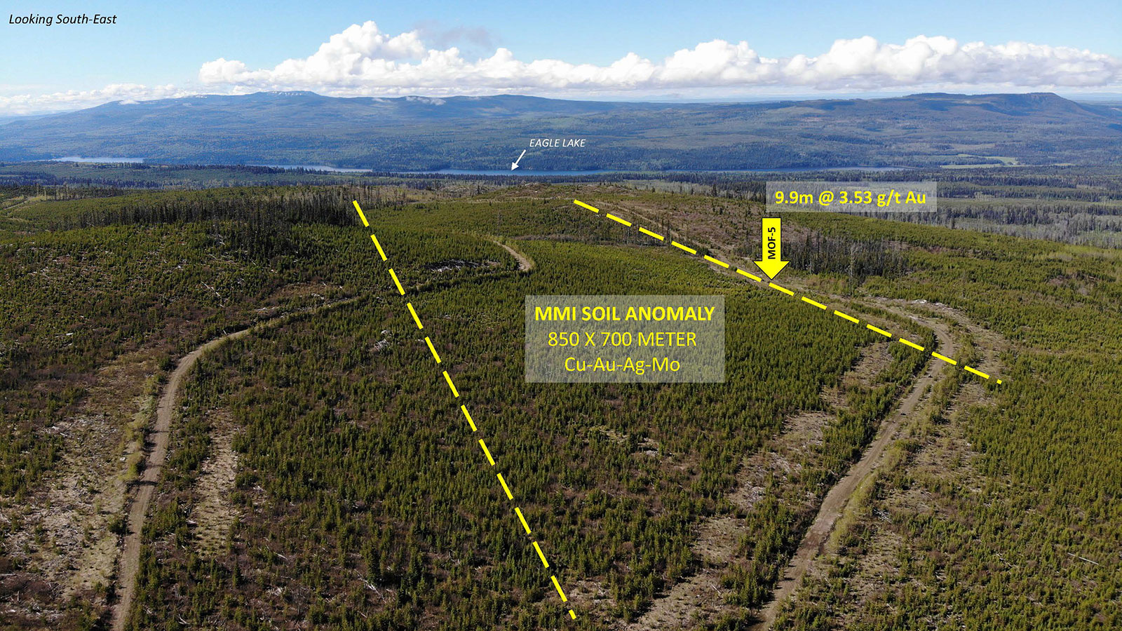
Trailbreaker’s team believes the gold potential of the property has been overlooked in the past, as copper porphyry-style mineralization was the focus of all previous exploration conducted on the property. For example, in 2010, a small diamond drill program targeting Cu-Au porphyry mineralization (the “Moffat zone”) at the south end of the Eagle Lake property encountered significant gold-only mineralization. At the Moffat zone, drilling returned an intercept of 3.52 g/t Au over 9.9 m, (commencing at 253 m) within quartz stockworks and breccias. No follow-up work was ever done. A regional-scale till sampling program executed in 2019 demonstrated that anomalous gold-in-till values were returned from the southern portion of the Eagle Lake property hosting this drill hole.
In 2022, Trailbreaker completed an exploration program that included prospecting, geological reconnaissance mapping, and a 432-sample Mobile Metal Ion (MMI) soil geochemical survey covering a 3 x 3.5-kilometre area.
The MMI survey was designed to cover historic drill showings including the drill intercept of 3.52 g/t Au over 9.9 metres (2011 drill hole MOF-5), as well as numerous low-grade copper intersections. The survey identified an 850 x 700 metre Au-Cu-Ag-Mo (gold-copper-silver-molybdenum) anomaly which extends east and north of MOF-5 into an area where there is no documented historic drilling.
During the 2022 program, the exploration team located the historic drill core from the 2011 drill campaign and was able to examine and re-log the gold- and copper-bearing mineralized intercepts. Significant amounts of hydrothermal breccia, quartz-carbonate-potassium feldspar veining, and fault gouge were observed within the gold-bearing interval of MOF-5 which commences at 253 metres depth. Trailbreaker geologists have determined that these features are representative of a regional-scale fault structure that parallels the northwest-trending geological contact between the late Triassic Copper Mountain Plutonic Suite and the early Jurassic Takomkane Batholith. The MMI soil anomaly occurs along this contact.
The Trialbreaker team conducted a ground magnetic survey in 2024, covering the area of anomalous MMI samples along the regional Moffat fault zone. The magnetic survey highlights two sets of magnetic lineaments, trending northwest and north-northwest, with intersections near the MMI anomaly. In addition, the magnetic survey results also highlight different intrusive phases with varying amounts of magnetic and alteration assemblages. With small semi-circular magnetic lows also associated with local MMI anomalies.
History
1960 – 2000
Exploration in the region began in the 1960s following the discovery of the Cariboo-Bell porphyry deposit (Mount Polley). Numerous companies explored the region for Cu-Au porphyry deposits over the years.
2001 – 2016
In 2001, Fjordland Exploration optioned the Woodjam project from Cariboo Rose Resources and aggressively explored the northern half the Takomkane Batholith in search of Cu-Au porphyry deposits.
In 2010, prospecting led to the discovery a few mineralized outcroppings coined the Moffat zone. This area makes up the south-western portion of what is now Trailbreakers’ Eagle Lake property. A detailed soil geochemical and IP survey outlined a broad chargeability anomaly associated with several small Cu-Mo soil anomalies. A small diamond drill program was completed the same year with a total of 1135 meters over 5 drill holes. Copper or gold mineralization was encountered in all holes and associated with a porphyritic monzonite intrusive with several notable intersections.
The most notable drill intersection was 9.9 m of 3.52 g/t Au, encountered at depth of 253 meters and hosted in a strongly altered and brecciated monzonite porphyry cut by narrow quartz veins with disseminated pyrite. This 2010 auriferous drill intersection remains to be followed up to present day.
2016 – 2022
Fjordland’s claims lapsed in 2016 resulting in the Moffat showings to be re-staked by multiple different claim owners over the years. No meaning full exploration was ever completed in area since the drillhole discovery in 2010.
In 2019, Teck Resources staked a 57,000-ha claim block (the ‘Takomkane property’) adjacent to Consolidated Woodjam’s property and completed a reconnaissance 94-sample subglacial till survey.
2022
Trailbreaker consolidated the Eagle Lake property via staking of the historical Moffat showings and a sale agreement with Teck Resources for their remaining Takomkane claims.
Trailbreaker completed an exploration program that included prospecting, geological reconnaissance mapping, and a 432-sample Mobile Metal Ion (MMI) soil geochemical survey covering a 3 x 3.5-kilometre area. In addition to relogging drillcore from 2011.
Photos
-

- Exploring the property
-
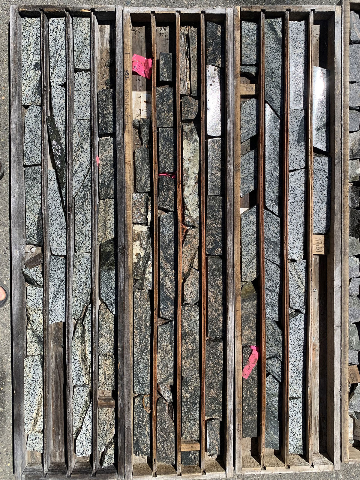
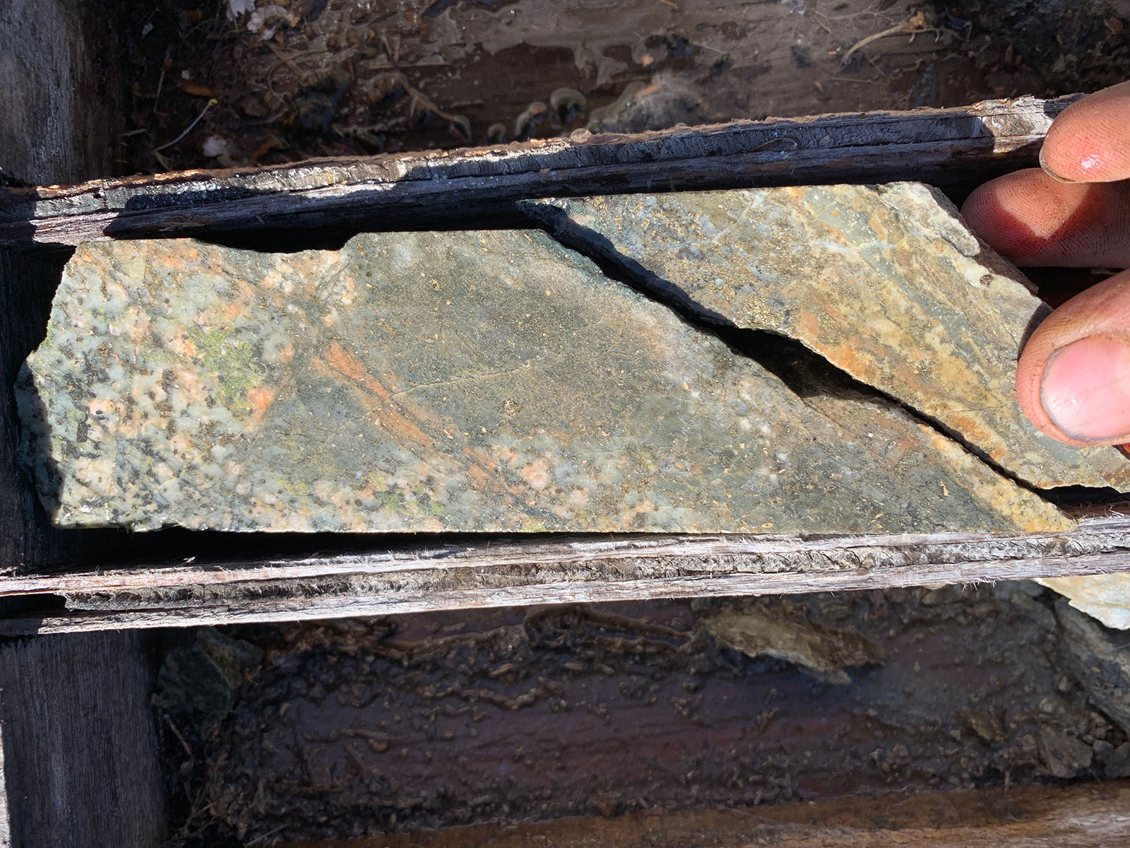
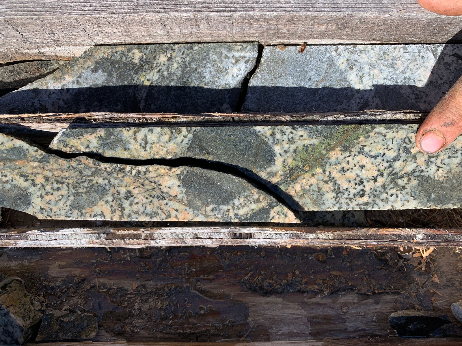
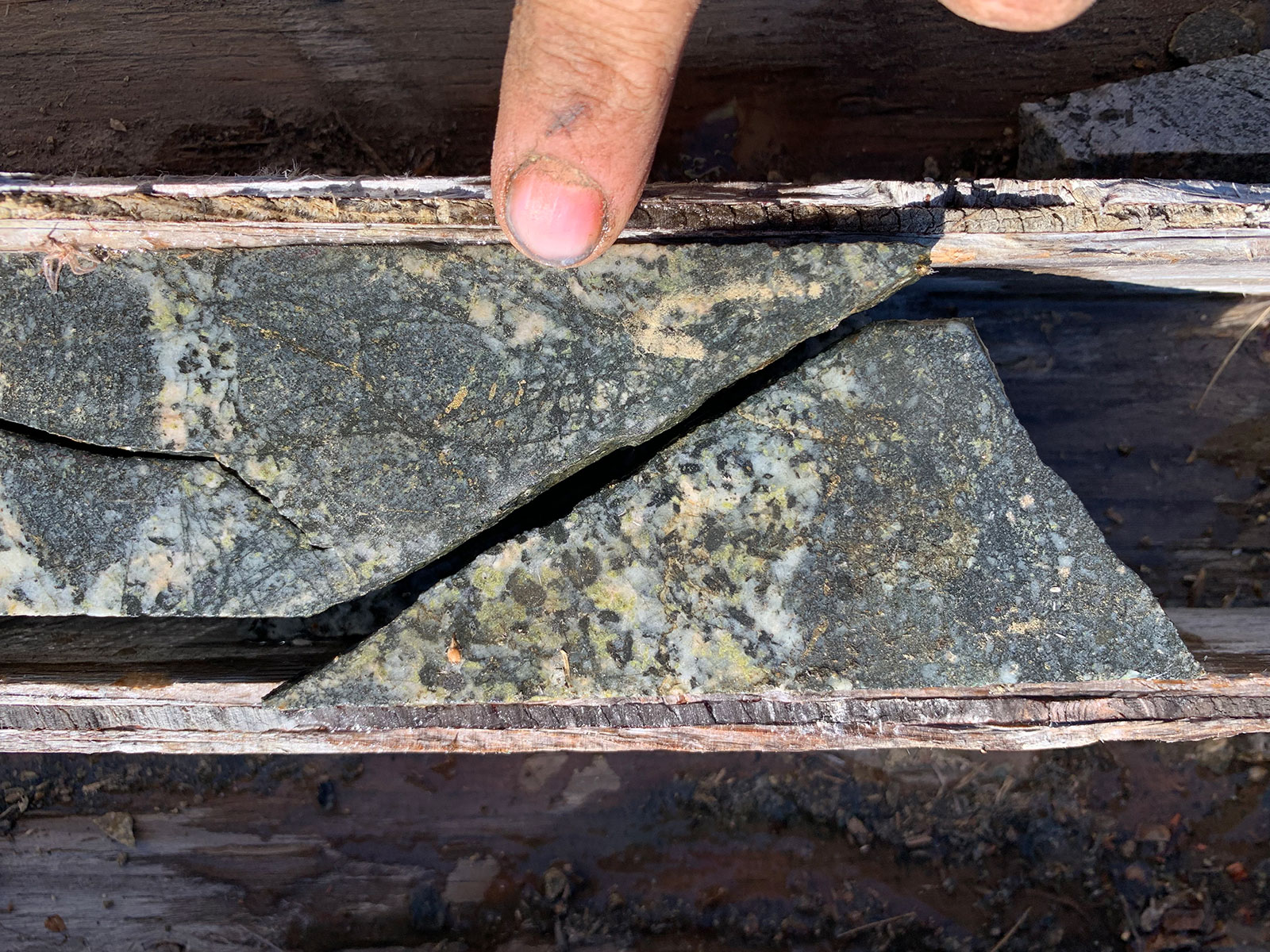
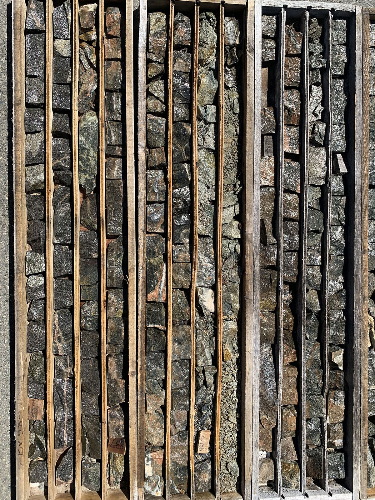
- Historic core samples from the 2011 drill program

-
- Historic core samples from the 2011 drill program
-
- MOF2 5.9 meters @ 0.18 gpt Au 0.15 Cu
-
- Mobile Metal Ion (MMI) soil sampling
-
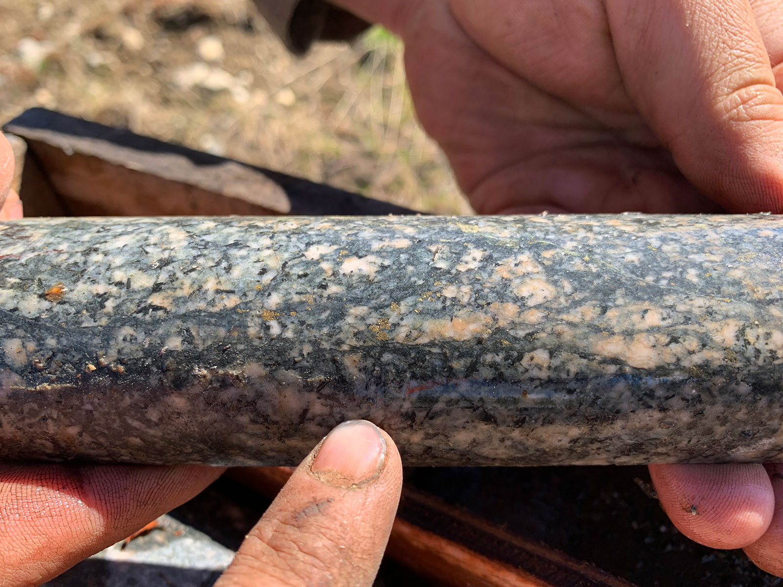
- MOF2 Potassic altered granodiorite porphyry with quartz epidote carbonate pyrite chalcopyrite veinlets ← 5.9m @ 0.18 gt Au, 0.15% Cu
-
- MOF2 py cpy mineralization
-
- MOF2 py cpy veinlets
-
- MOF2 strong cpy mineralization
-
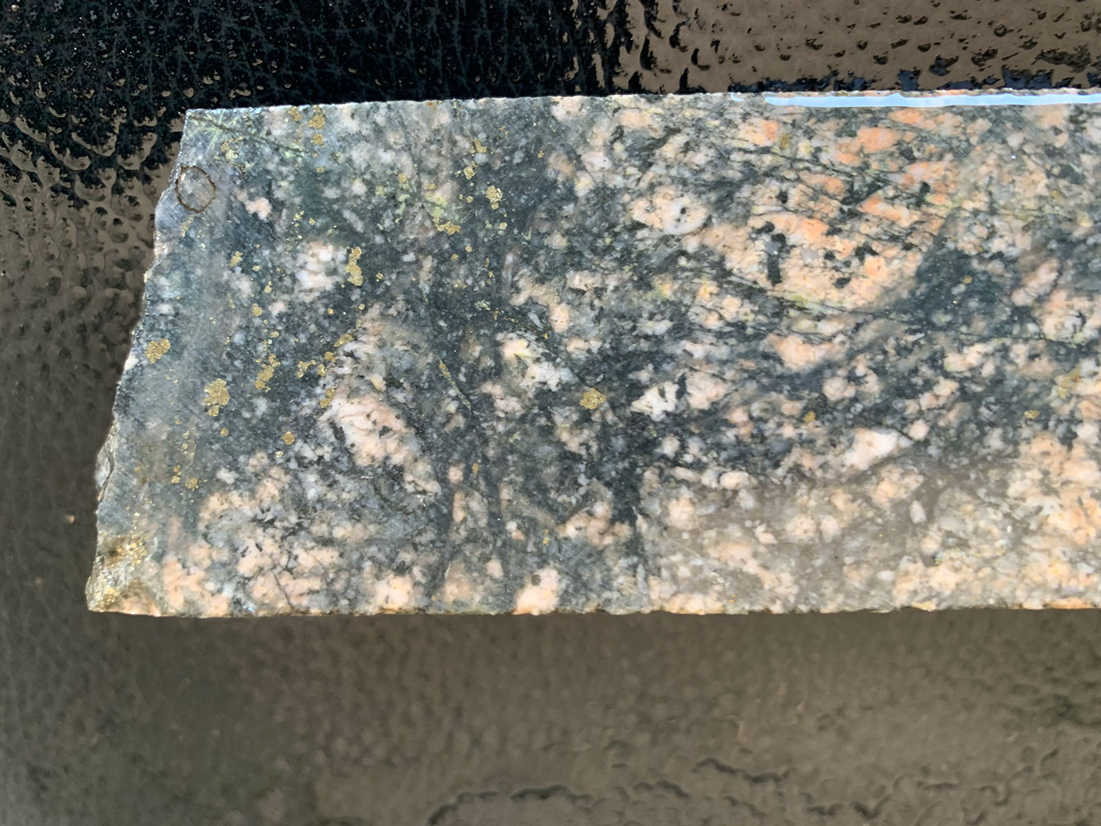
- MOF5 9.9-meters @ 3.52 gpt Au
-
- MOF3 Potassic altered porphyry with disseminated chalcopyrite ← 2.4m @ 0.90 gpt Au & 0.22% Cu
-
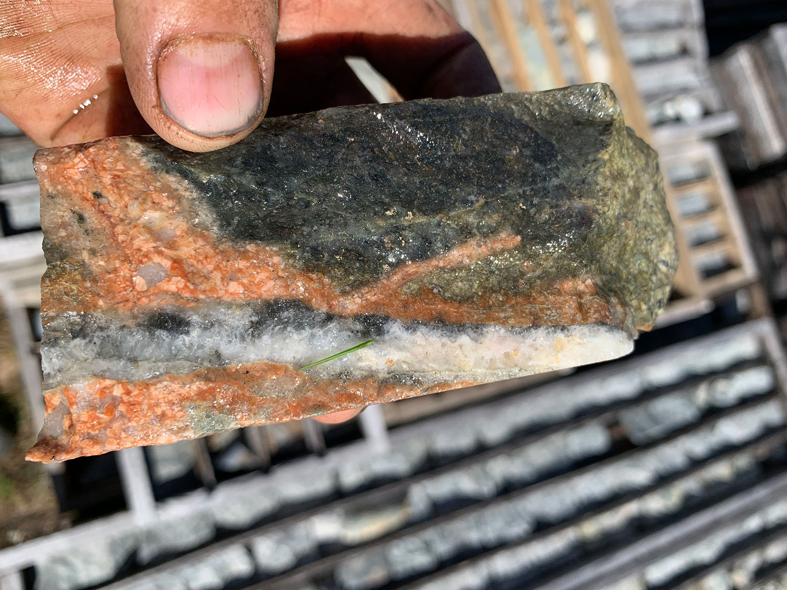
- MOF5 Hydrothermal breccia ← 3.52 gt Au

-
- MOF5 Quartz kpsar veinlet in diroite ← 7 gpt Au
-
- Moffat Zone
-
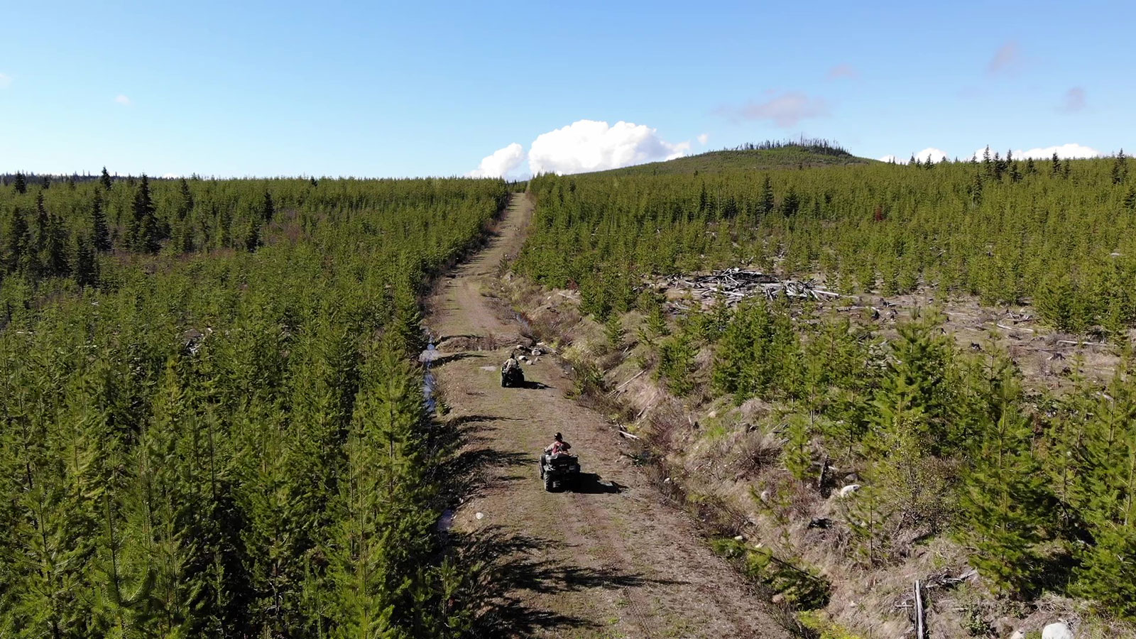
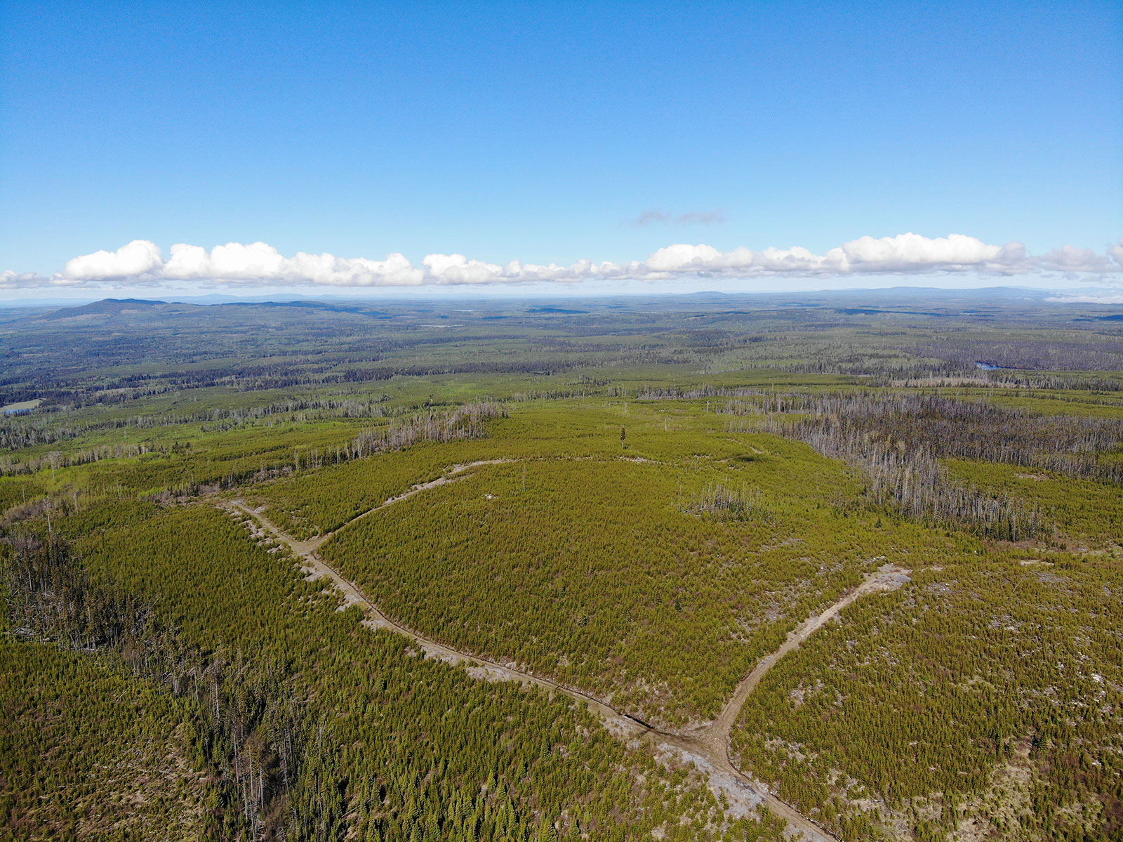
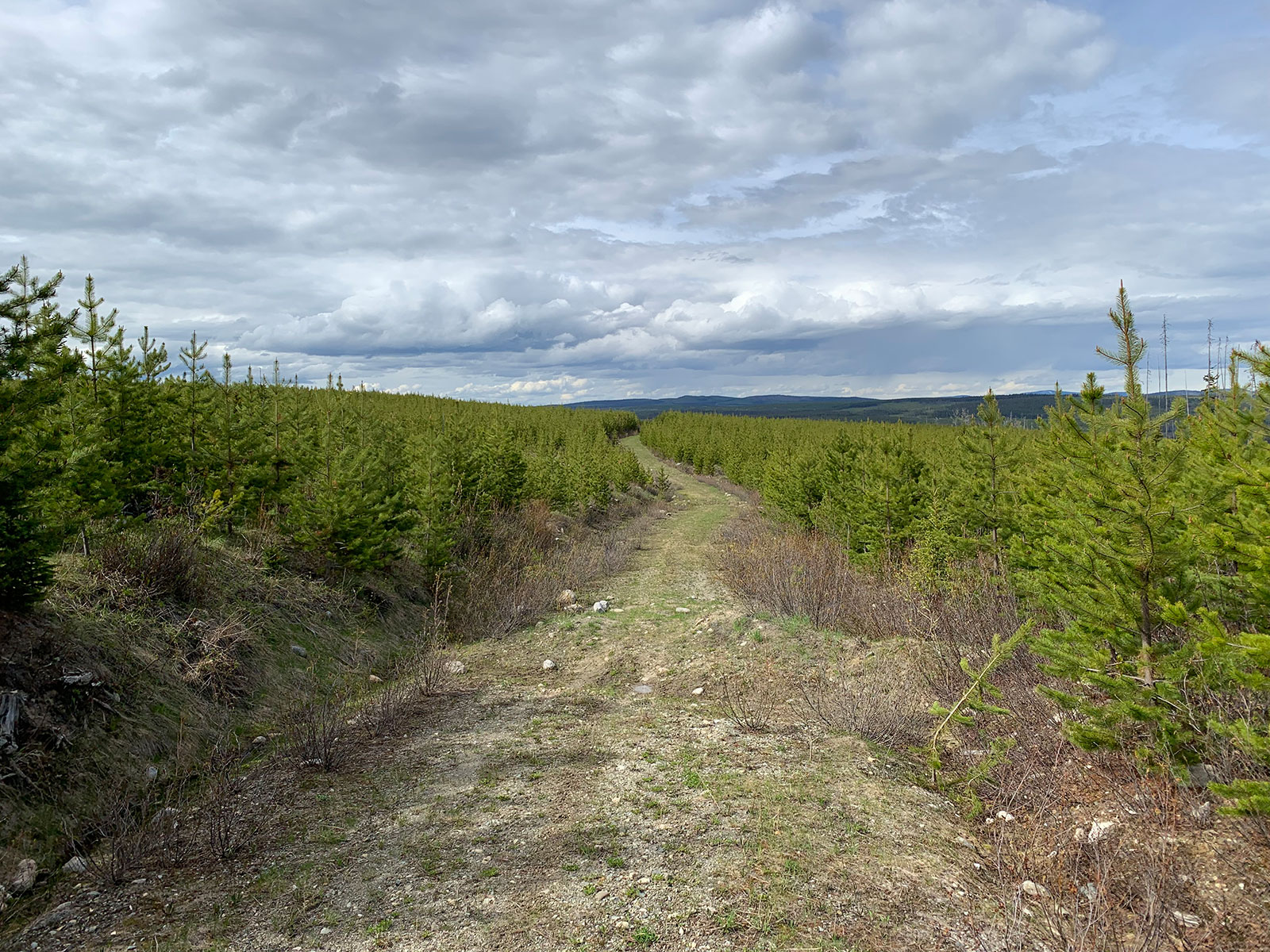
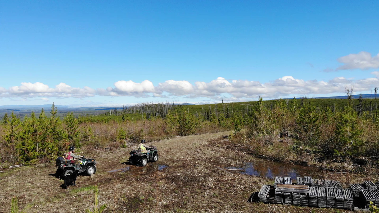
- Network of logging roads provide great access throughout the property
-
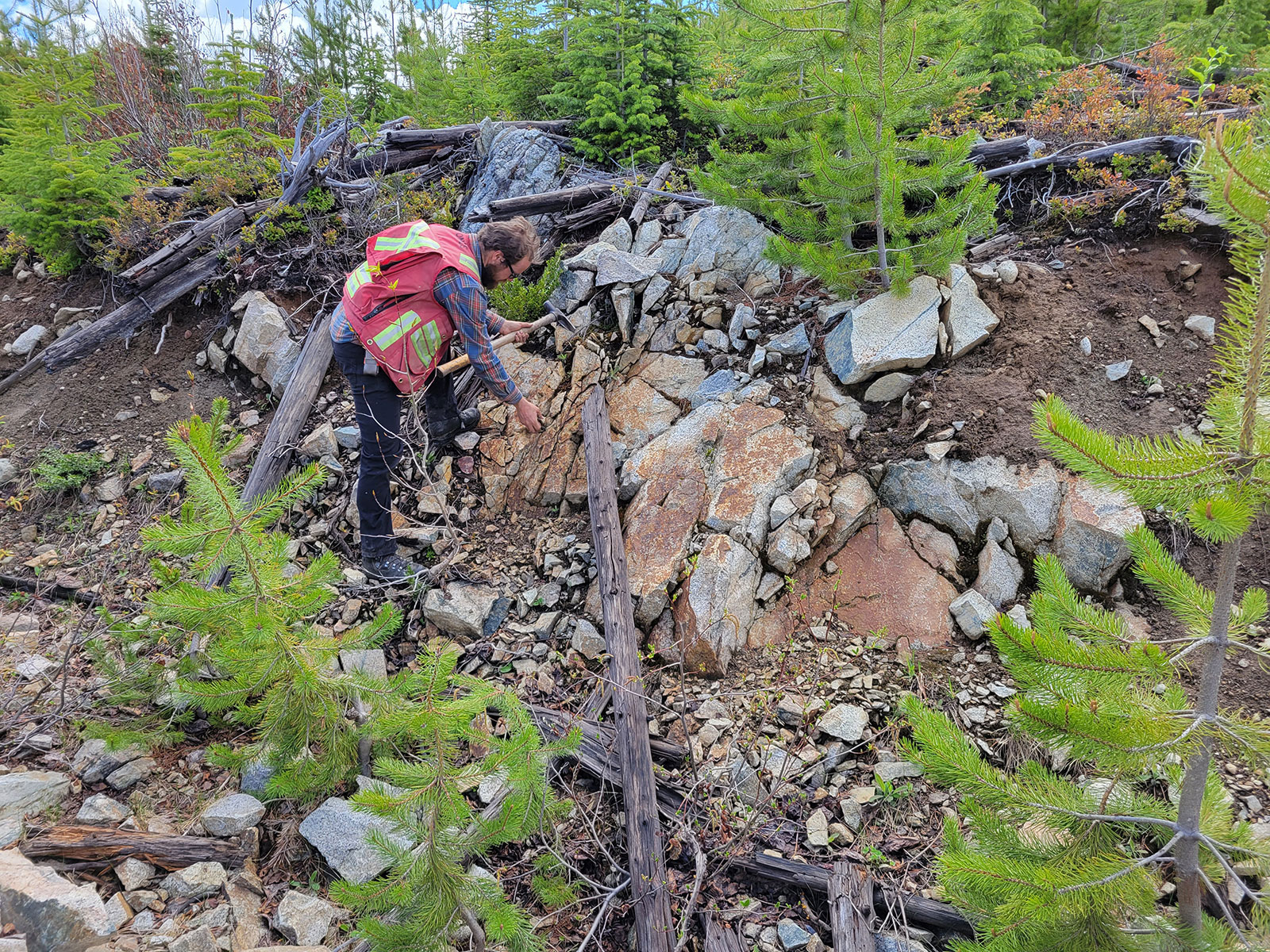
- Oxidized outcrop Takomkane granite

-
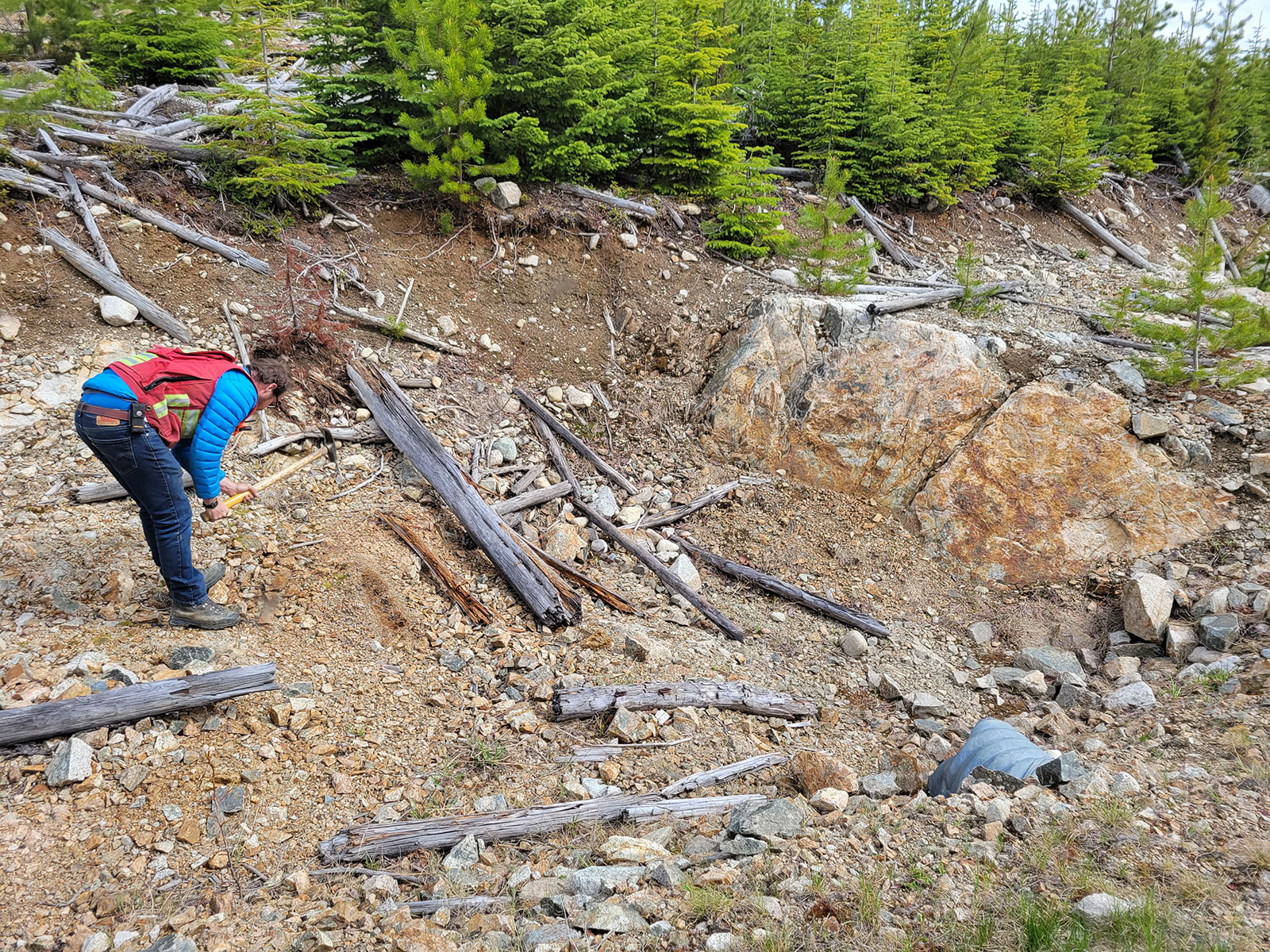
- Prospecting oxidized outcrops exposed by logging operations
-
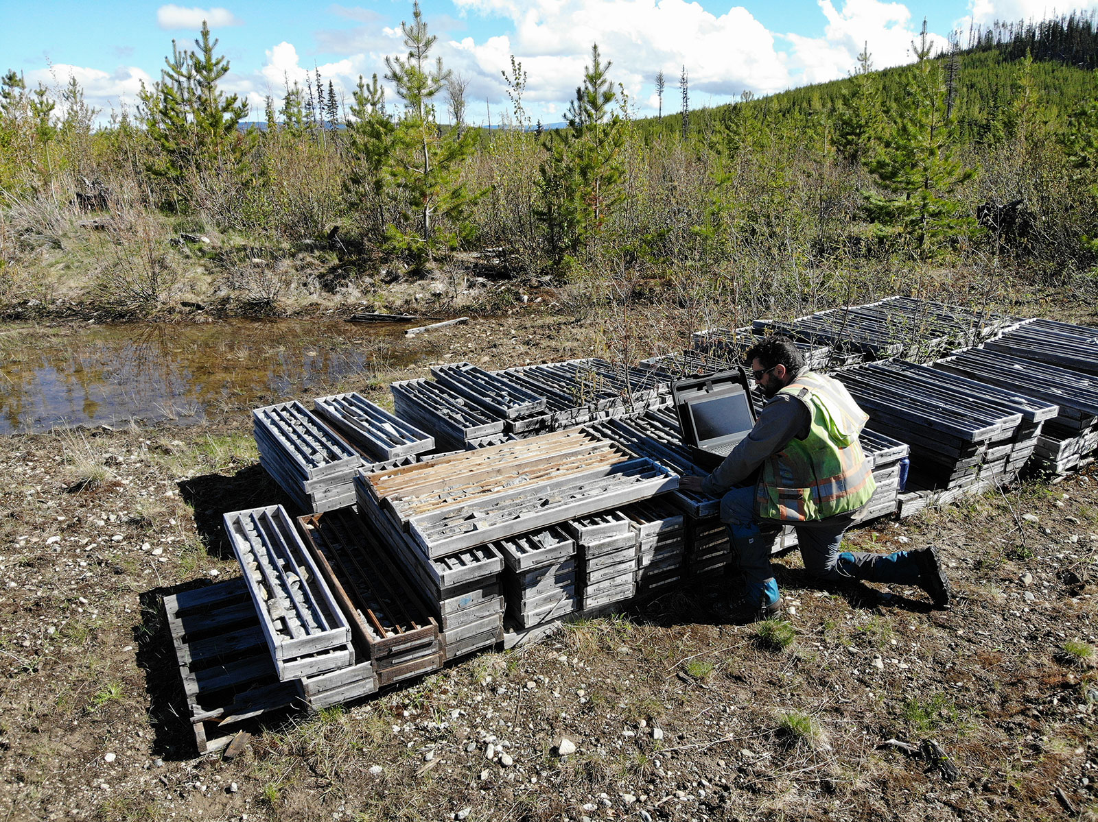
- Re logging historical core samples
-
- Sampling oxidized outcrop
-
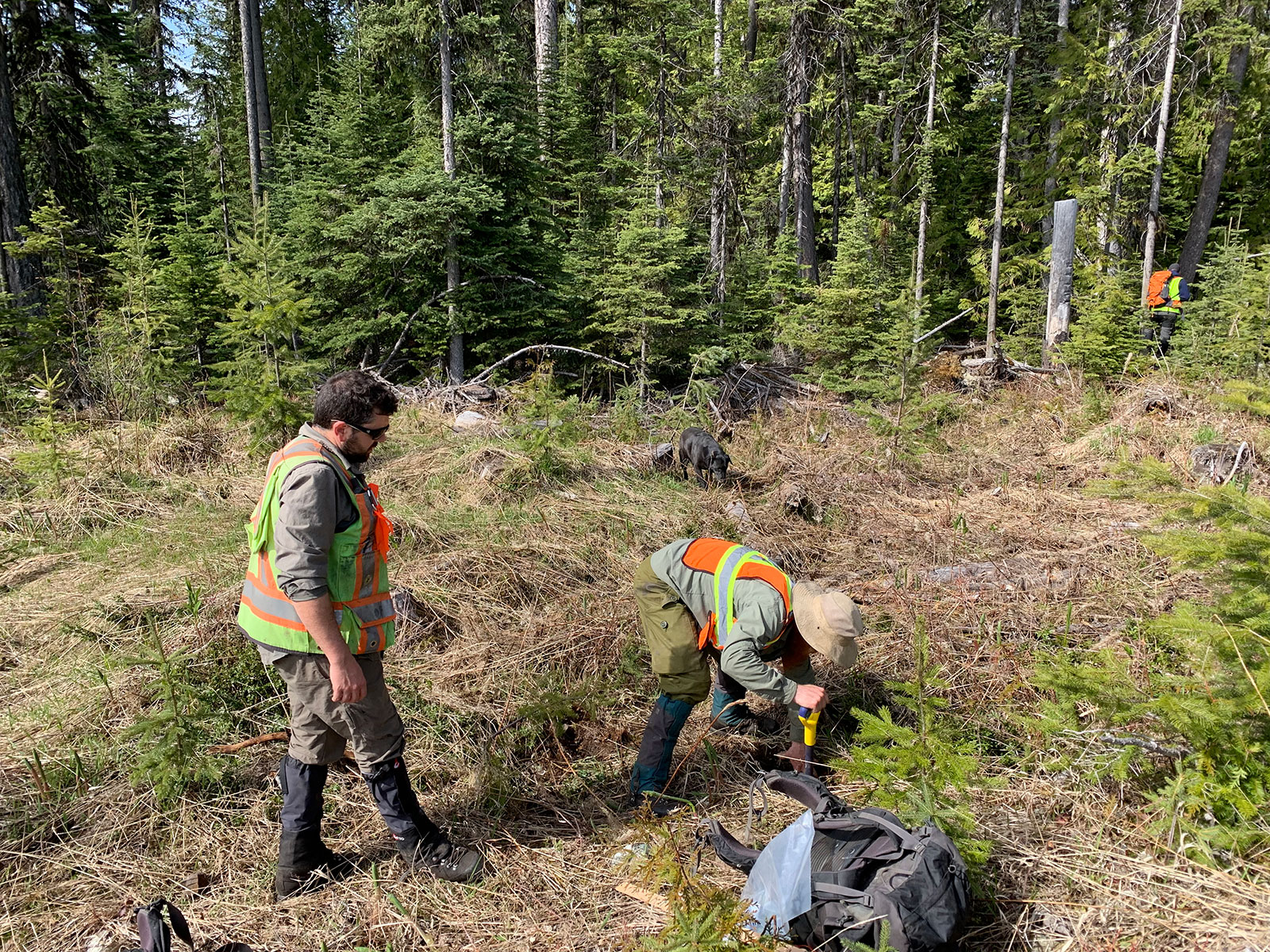
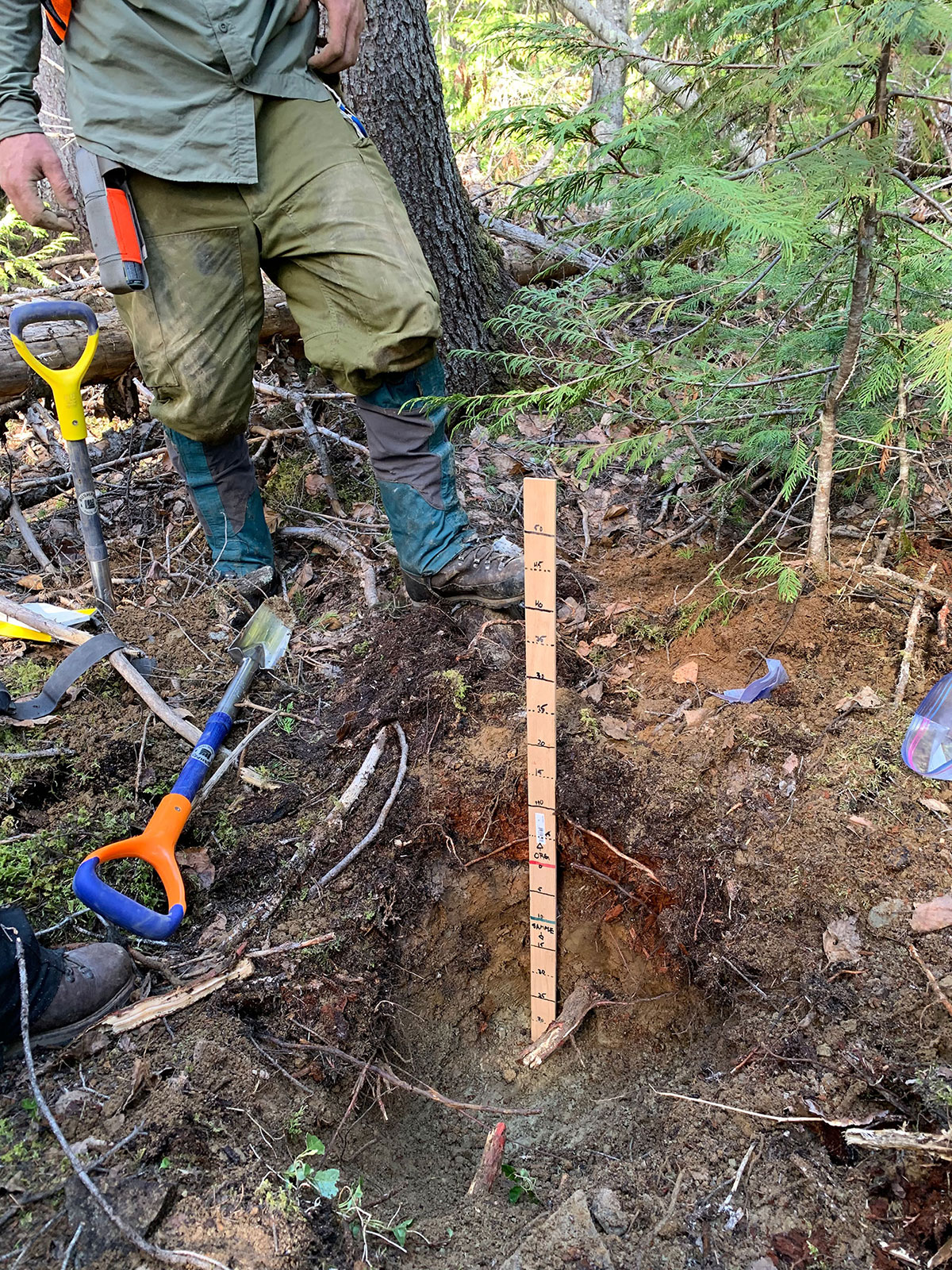
- Selecting the correct sample interval for the Mobile Metal Ion (MMI) soil survey
-
- Soil sample crew
Maps
-
- Location Map

-
- Overview Map

-
- Regional Geology

-
- Magnetic-Survey-Overview

-
- Magnetic-Survey-(Moffat-Zone)

-
- MMI-Soil-Anomaly-(Moffat-Zone)

Videos
Presentation
Address
Trailbreaker Resources Ltd.
650 W Georgia St # 2110
Vancouver, British Columbia
Canada, V6B 4N9