TRAILBREAKER Resources LTD
Golden Sable

Introduction
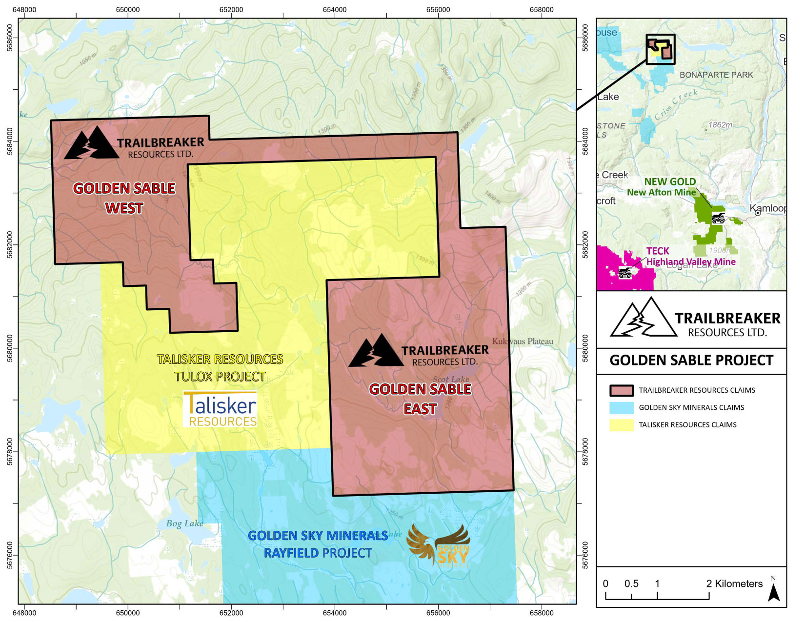
The Golden Sable property is an intrusion-related gold target and lies within the Quesnel tectonic terrane which hosts many of British Columbia’s active and past-producing gold mines. The property is located 75 kilometres northwest of Kamloops, BC, and covers 2,852 hectares.
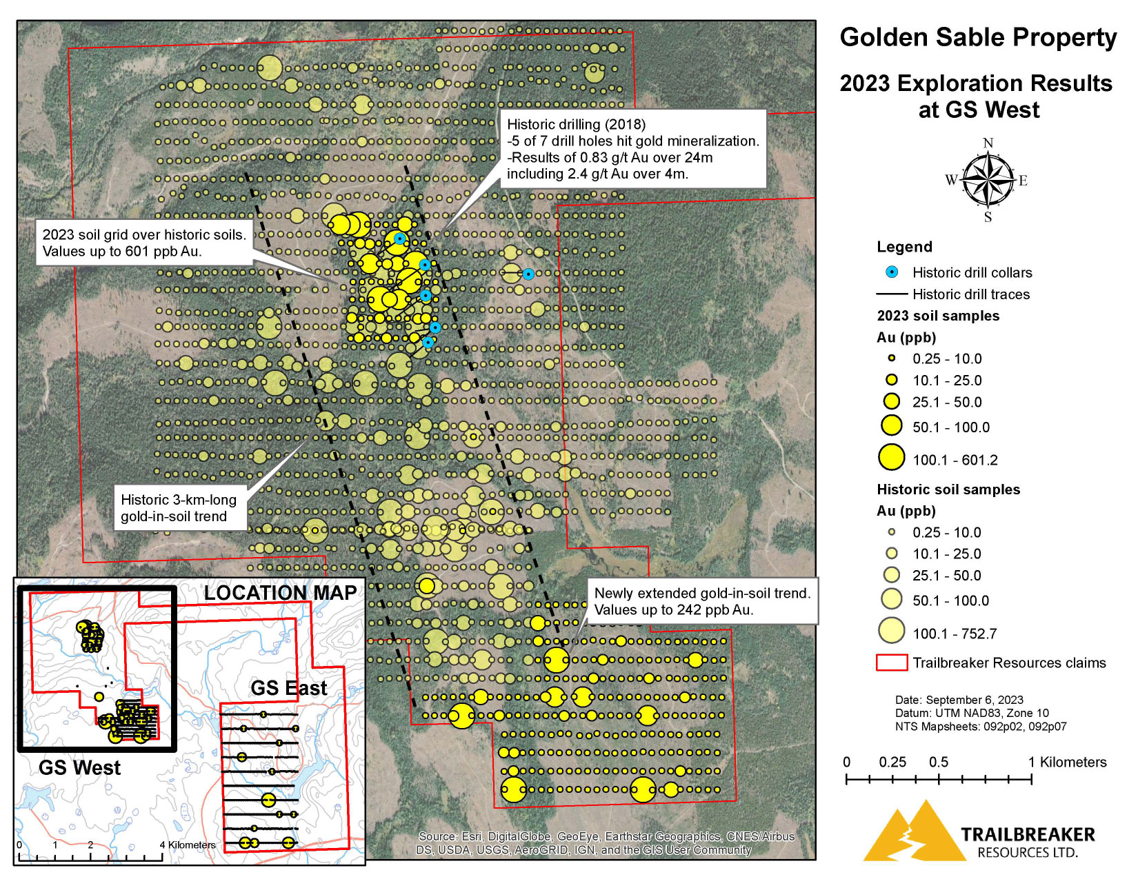
The property is divided into two main areas: Golden Sable (GS) West and GS East. The GS West area hosts a historic 3-kilometre-long gold-in-soil anomaly that remains open to the southeast while GS East displays similar geology and regional geochemistry as the west but remains underexplored. One historic drill program was completed on GS West during 2018. The program consisted of 1,339 metres of drilling which included an intersection of 0.83 g/t gold over 24 metres. No follow-up drilling has been conducted to date and the majority of the gold-in-soil anomaly remains untested.
In 2023, Trailbreaker Resources performed a surficial exploration program designed to evaluate the quality of the historic soil sample locations, locate the historic drill holes, map and prospect available outcrops, and continue soil sampling to the southeast of the GS West historic gold-in-soil trend. The program was successful in extending the anomaly a further 1 kilometre to the southeast, where it remains open.
Location & Infrastructure
The Golden Sable property is located 75 km northwest of Kamloops, BC and 20 km south of Bridge Lake, BC. It is easily accessible via Highway 24 and the Bonaparte Forest Service Road.
Exploration History & Highlights
A 3-kilometer-long gold-in-soil anomaly that remains open to southeast was established between 2006 – 2013 by Amarc Resources.
An inaugural drill program (1,339 meters) by Sable Resources in 2018 encountered gold mineralization in 5 of 7 blind drill holes testing the soil anomaly. The best intersection was 0.83 g/t Au over 24 m, including 1.4 g/t Au over 10 m, including 2.4 g/t Au over 4 m. Gold mineralization was found to be hosted in mafic and intermediate dike swarms tending northwest – southeast and closely associated with a Cretaceous age granitic contact.
In 2023, Trailbreaker Resources successfully extended the GS West gold-in-soil anomaly 1 km father to the southeast, where it remains open. Assaying of the soil samples within this trend returned values up to 242 ppb Au. A tightly-spaced soil sample grid was also performed over historic soil samples in the area of drilling to evaluate the consistency and quality of previous results. Assay results within this grid returned values up to 601 ppb Au and displayed a similar anomalous signature to that of the historic soil sampling, confirming the validity of the historic anomaly.
No follow-up drilling has been conducted to date and the majority of the newly expanded 4-kilometer-long gold-in-soil anomaly remains untested.
Geological Setting
The property lies within the Quesnel tectonic terrane which hosts many of British Columbia’s active and past-producing gold mines. Middle to Upper Triassic volcanics and sedimentary rocks of the Nicola Group underlie the claim blocks. The property straddles the margin of a large early Jurassic hornblende-biotite granodiorite pluton with prevalent younger mafic and andesite dikes.
This property represents a new gold discovery (2018) in the underexplored, heavily glaciated Bonaparte Plateau. The past producing Vidette Lake gold mine is the closest significant deposit, located 15 km south of the Golden Sable property.
Maps
-

- Claim Map
-
- West Block
Photos
-
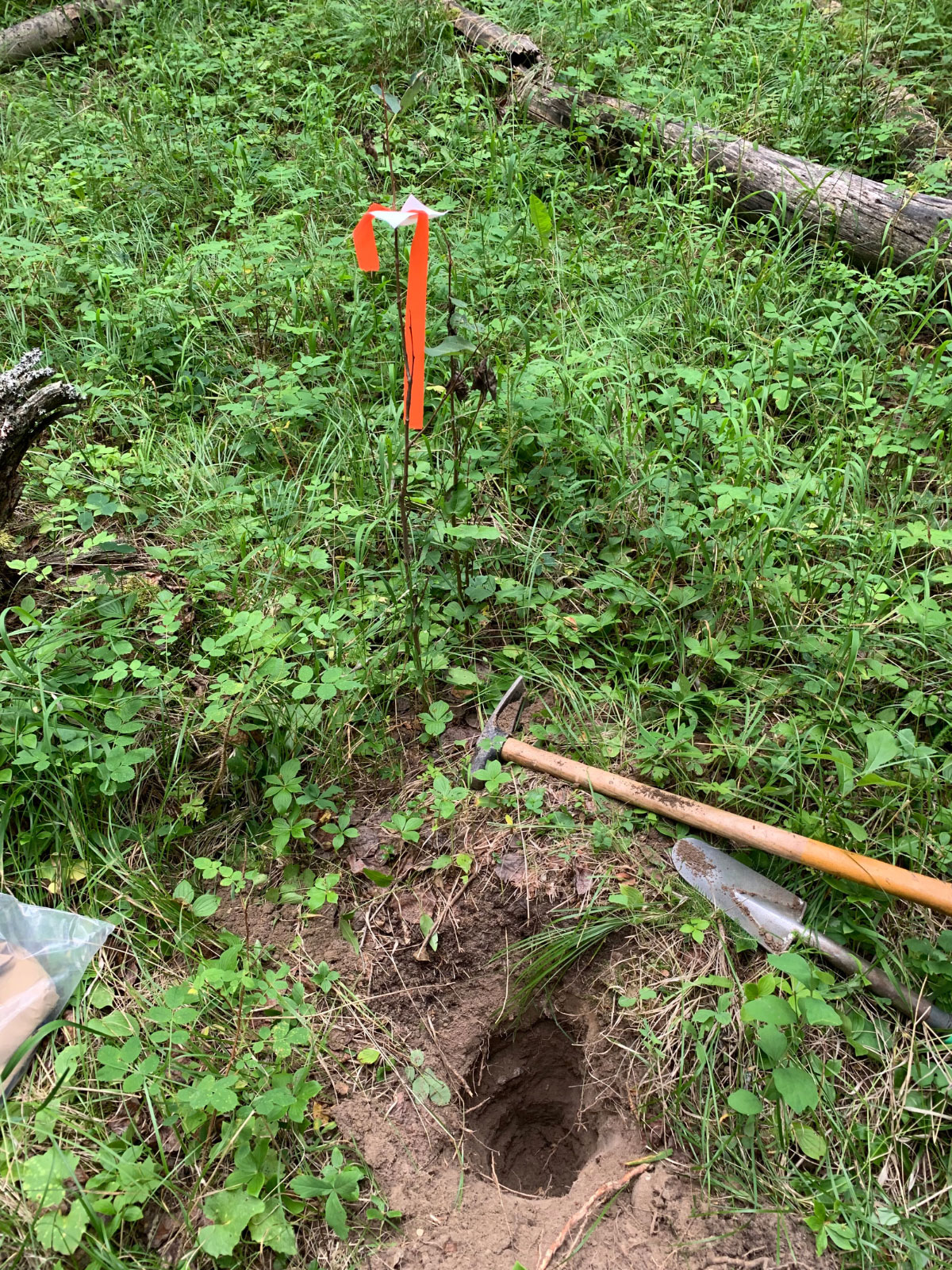
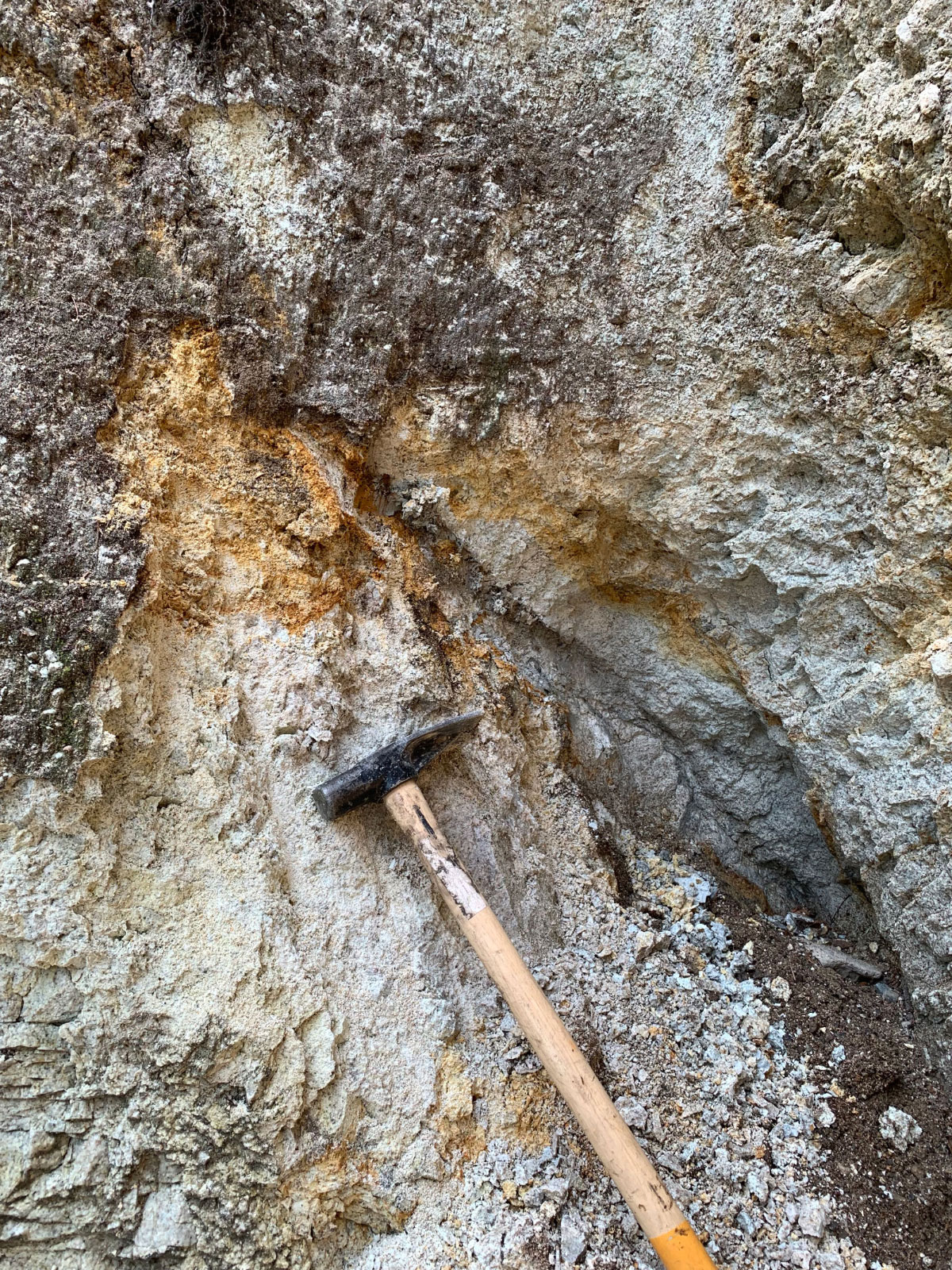
- Soil sample pit
-
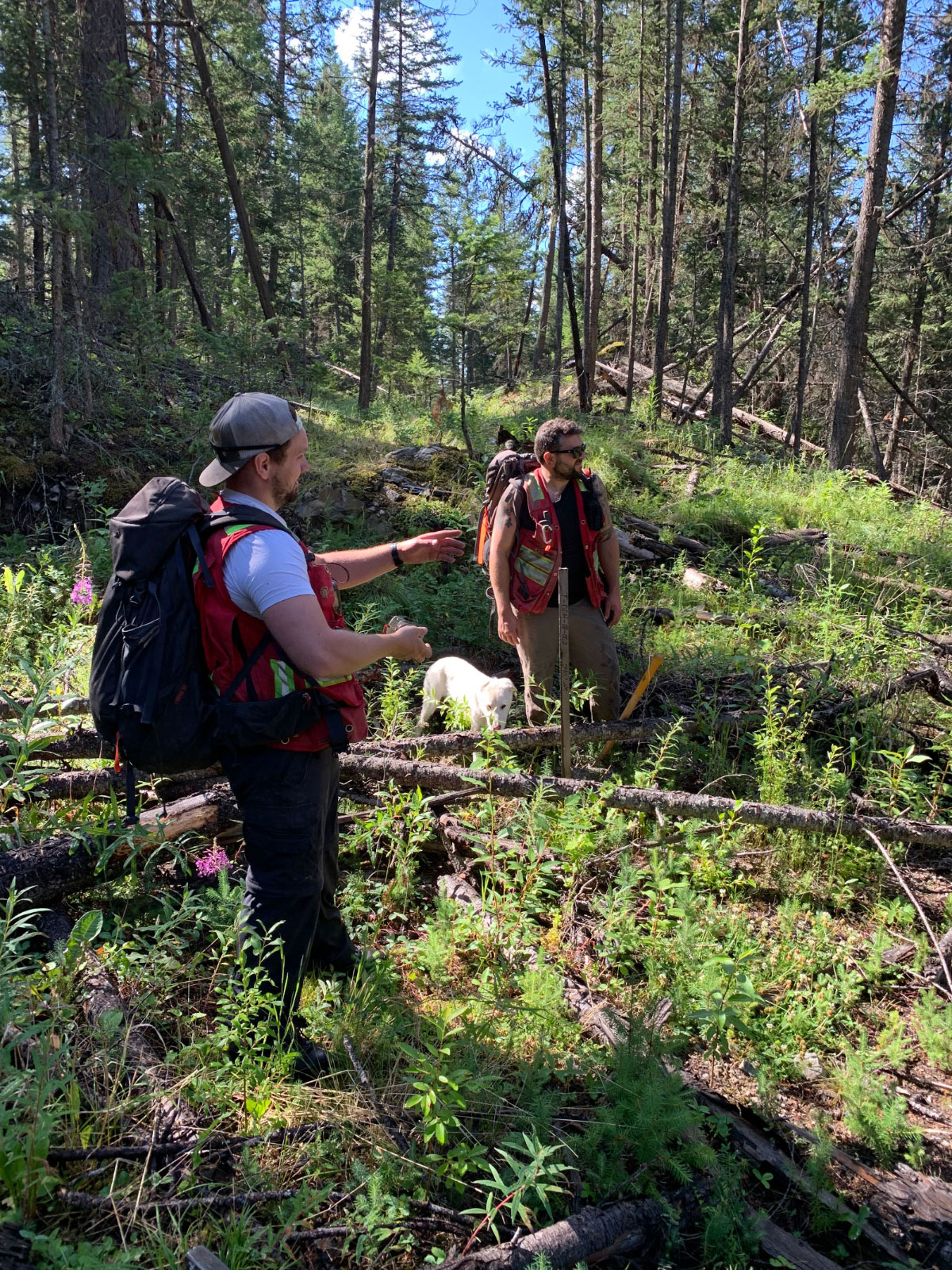
- Samplers in the field
-
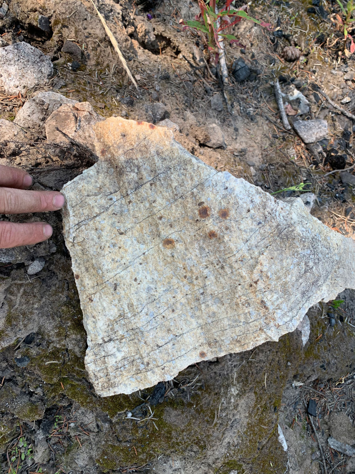
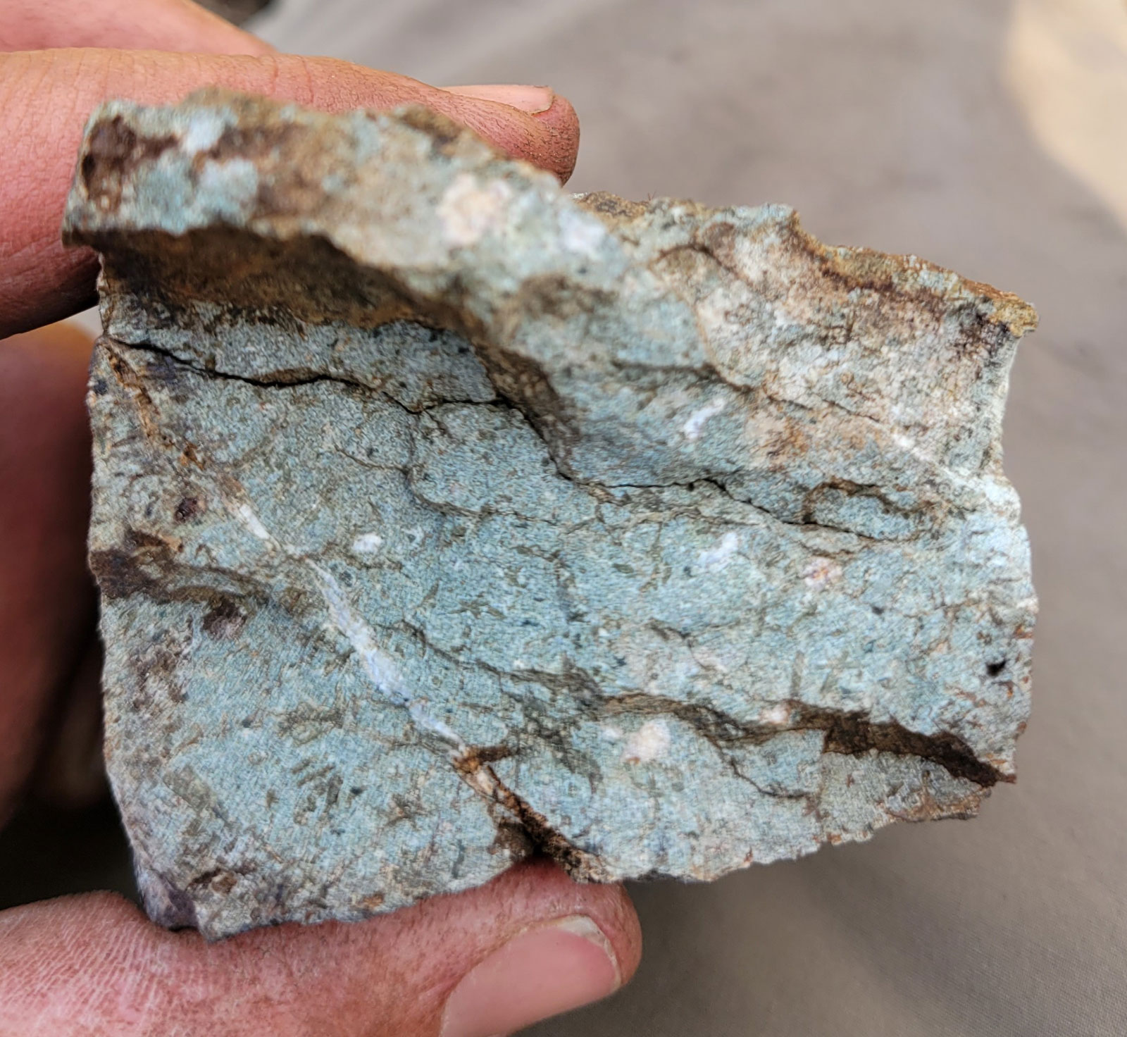
- Limonitic leocogranite
-
- Limonitic granite
-
- GS West Fault zone
-
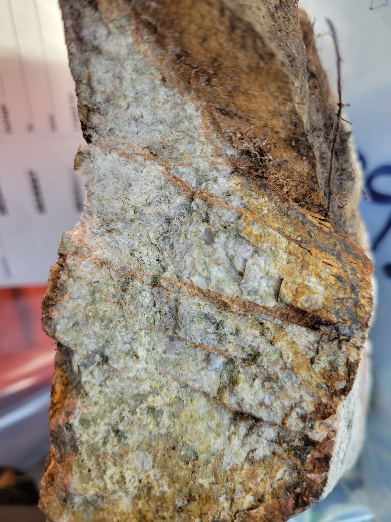
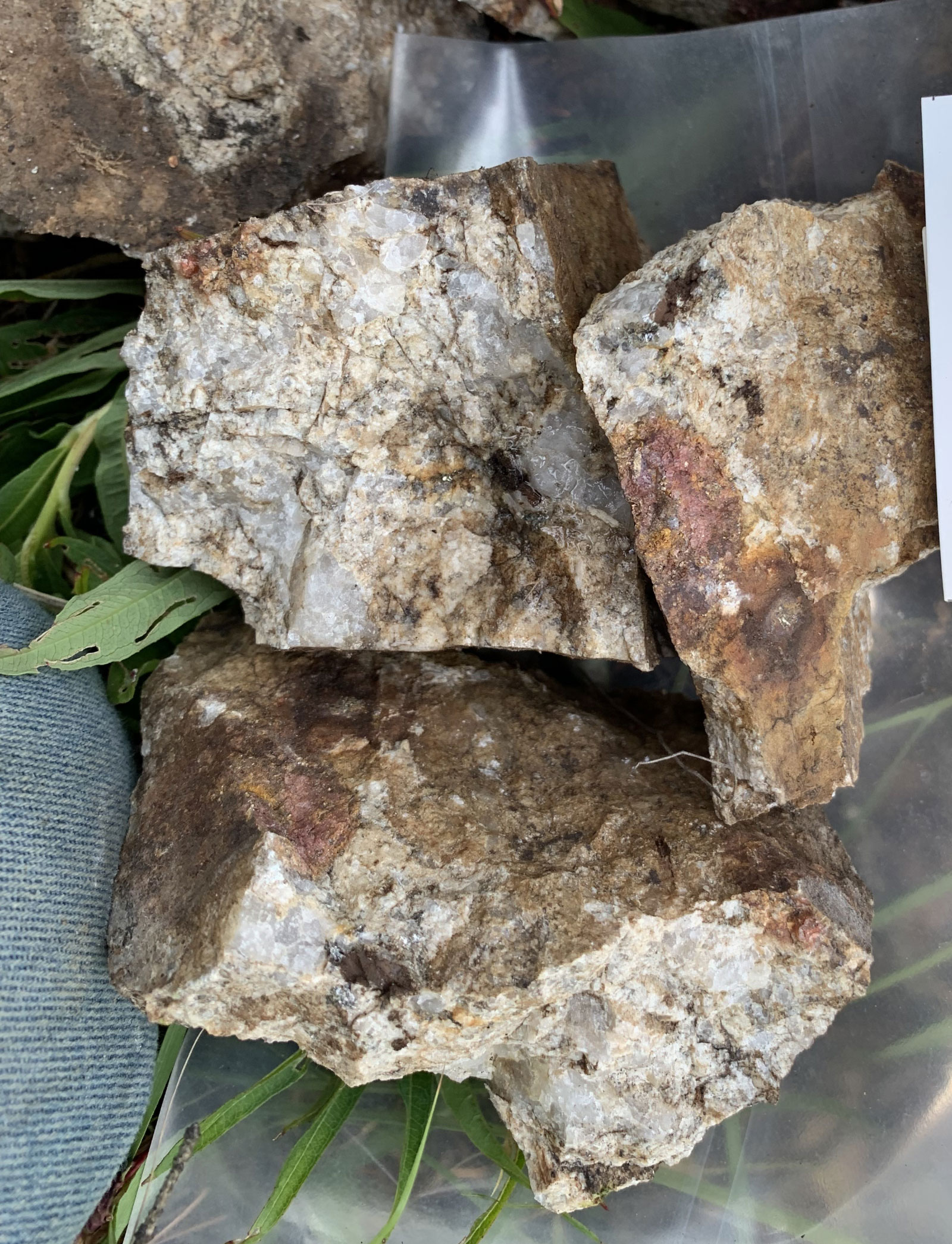
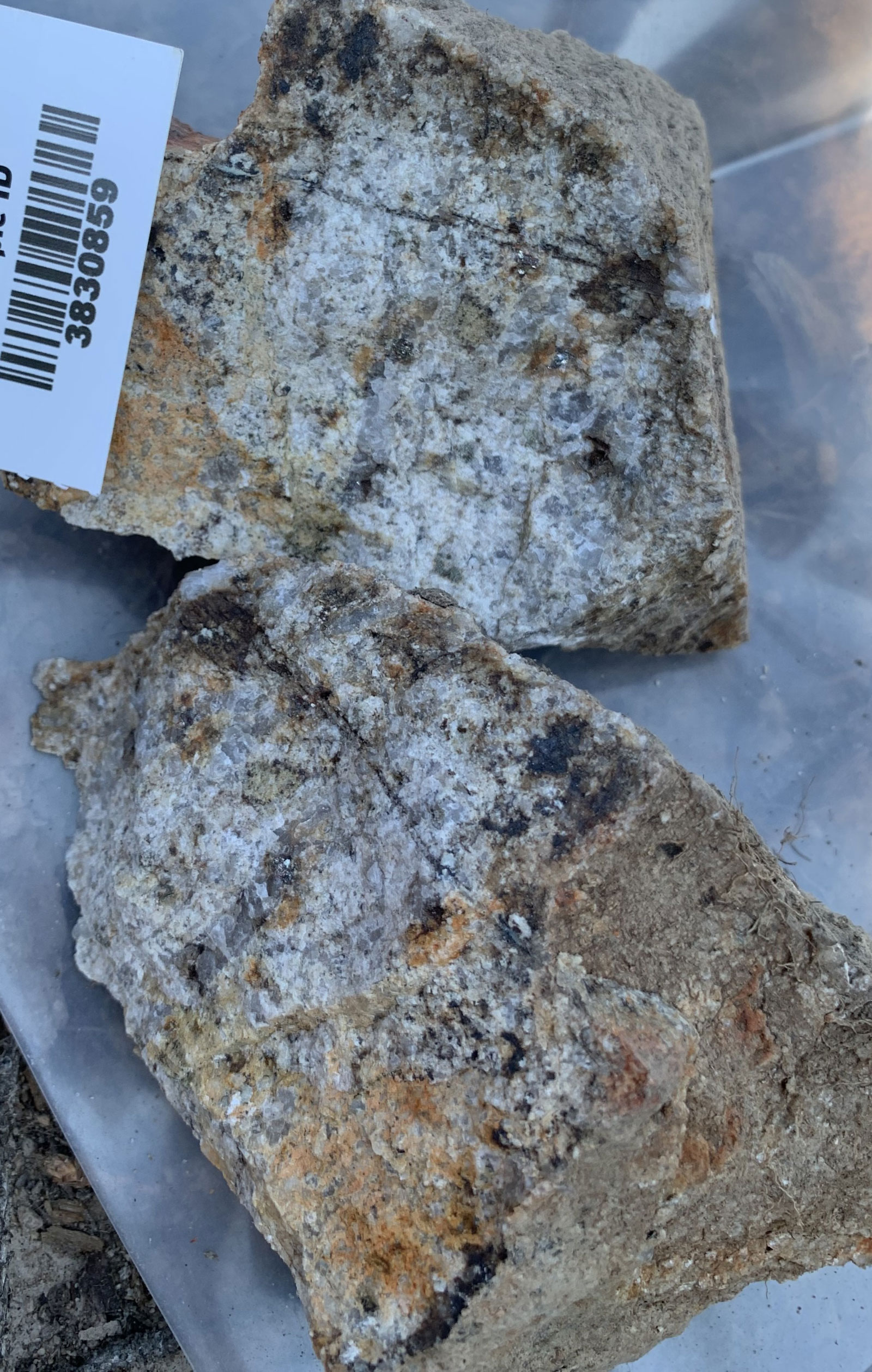
- Granite with qtz and pyrite
-
- Granite with pyrite
-
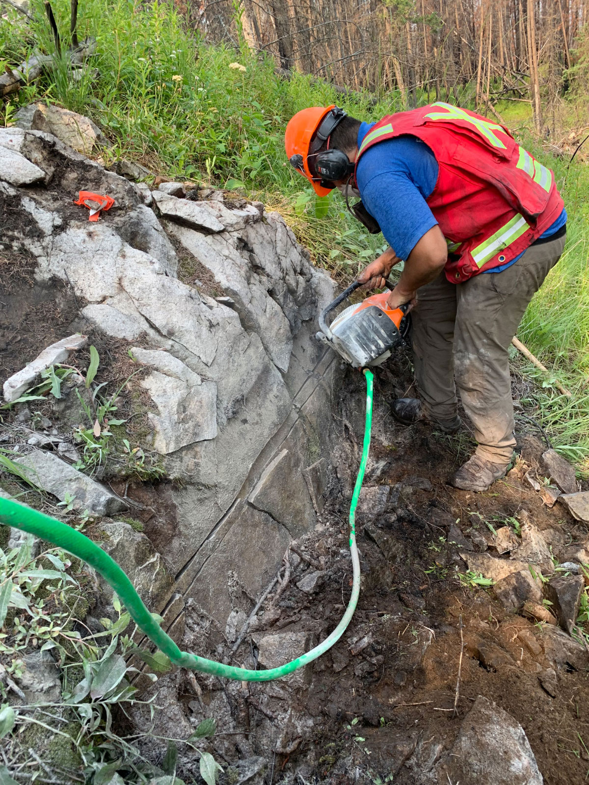
- Channel sawing granite
-
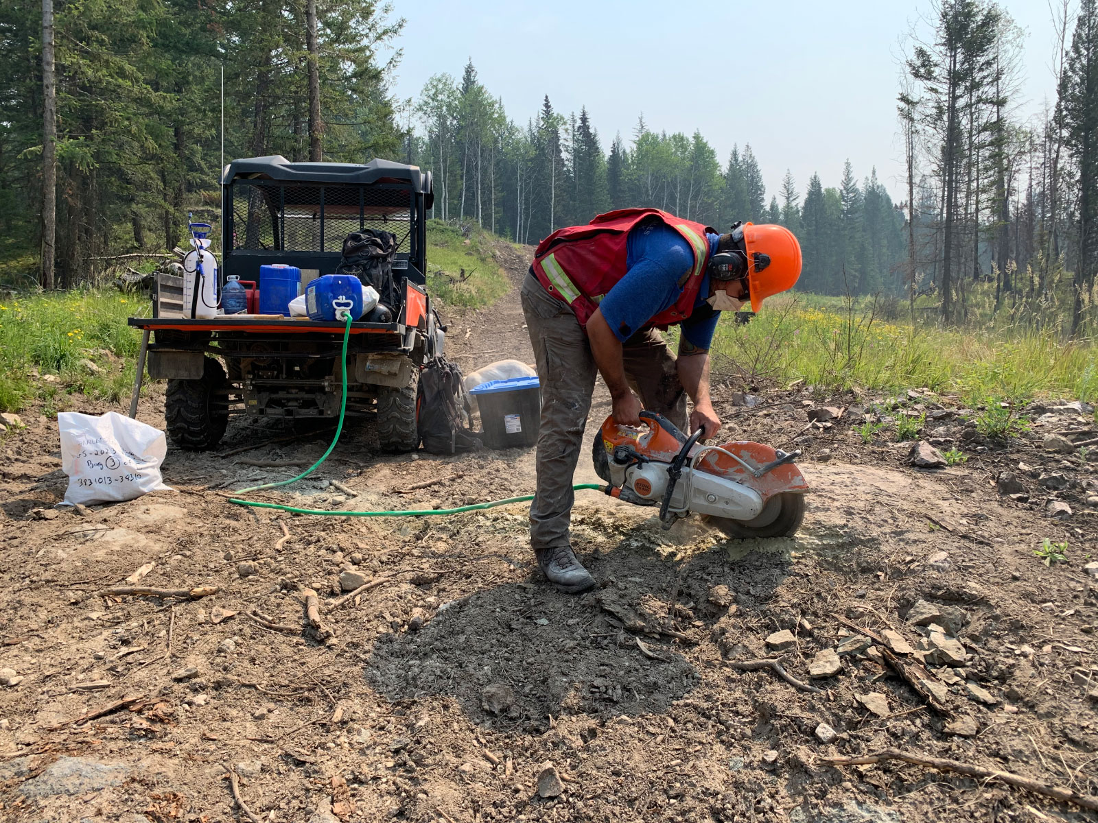
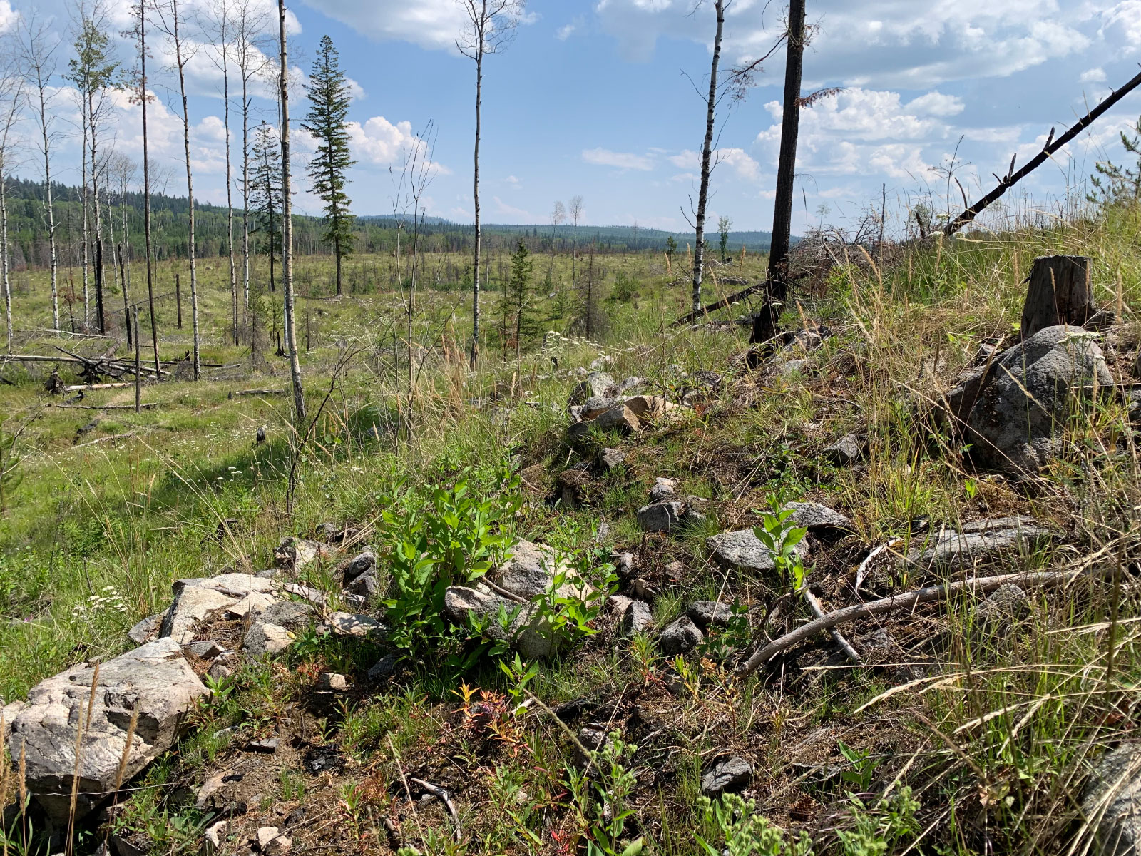
- Channel sawing on firebreak
-
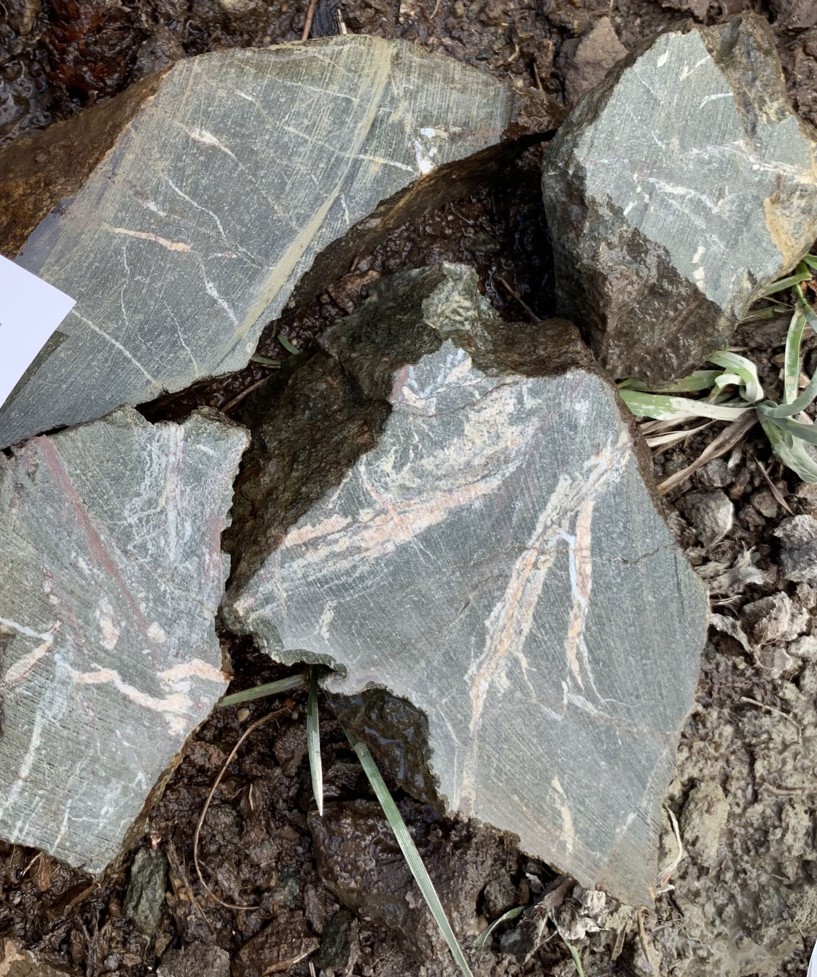
- Andesitic dike
-
- Andesitic dike
-
- New outcrop exposure since 2021 forest fire
Address
Trailbreaker Resources Ltd.
650 W Georgia St # 2110
Vancouver, British Columbia
Canada, V6B 4N9